
Wildfire & Resilience
A weather installation is also a communications project. How local sensing, non-cellular telemetry, and autonomous mesh operate in complex, fire-prone terrain.
Utility Forest Corridor Communications
Sensing is only useful if the data can leave the site.
Forest terrain, dense vegetation and rugged canyons create severe cellular blackouts exactly where localized fire-weather observations can matter most. The deployment therefore had to solve measurement, power and communications together.
Steep terrain and dense canopy can block cellular backhaul, leaving conventional connected stations offline in remote corridors.
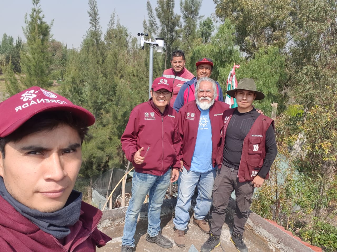
WeatherXM deployed autonomous LoRaWAN weather stations for PG&E to collect local fire-weather observations without depending on cellular coverage.
Terrain and communications constraints must be designed together, which directly shaped our later off-grid mesh and satellite work.
Local weather and resilient communications belong in the same design.
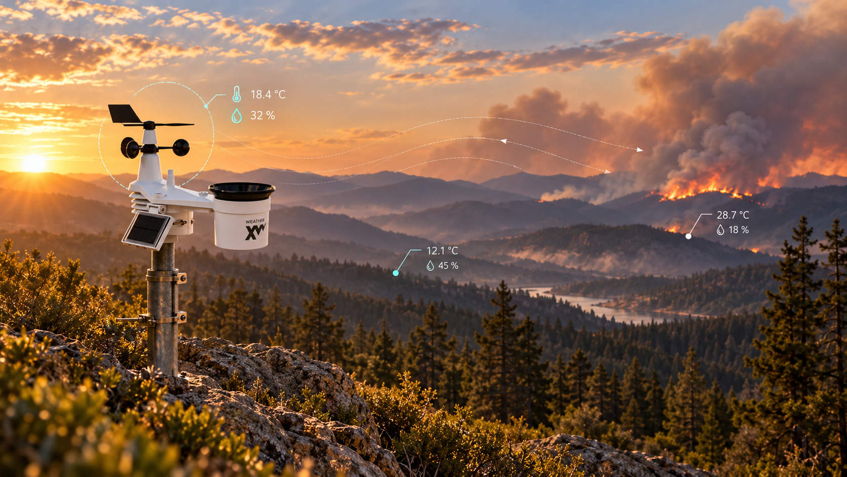
Wildfire corridors combine sharp microclimate changes with difficult radio propagation. The observation network has to follow the terrain physically and move data around the same obstacles.
Terrain, vegetation, ridgelines and wind funnels create sharp local differences in humidity, temperature and wind. A regional observation or model can miss the conditions at the actual infrastructure corridor.
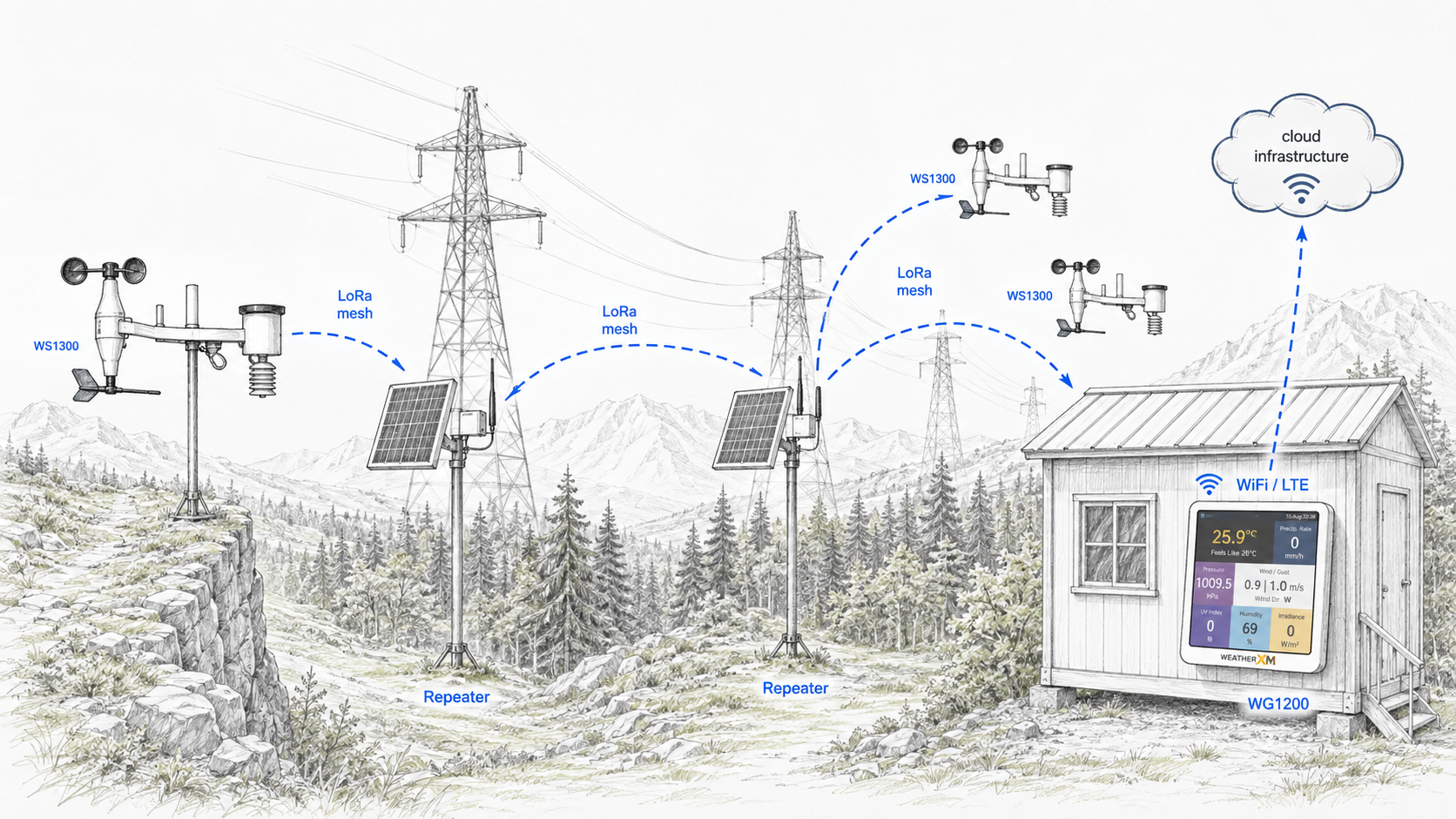
Route around the obstacle instead of depending on a tower.
In terrain where a direct path is unreliable, stations can relay observations hop-by-hop toward a gateway. The goal is not a particular radio technology; it is an architecture that matches the physical site.
Why Backcountry Weather Networks Fail
Engineering weather observation networks to survive off-grid isolation and severe environmental extremes.
RF Absorption in Wet Foliage
Standard 868/915 MHz RF propagation drops precipitously across dense pine and redwood canopies. Direct ground-to-cell towers lose link budget without line-of-sight clearing.
Ridge vs canyon thermal shifts
Nighttime downslope winds (Santa Ana, Diablo winds) funnel through narrow ravines at double the velocity measured at valley floor stations, accelerating fire spread without warning.
Multi-Hop Resilient Uplinks
When cell towers burn or lose power during Public Safety Power Shutoffs (PSPS), autonomous mesh stations relay critical humidity and wind telemetry hop-by-hop along ridge crests.
Need resilient off-grid sensing for backcountry corridors?
Discuss remote weather monitoring requirements or explore our next-generation off-grid mesh and direct-to-satellite hardware.